


Comments
Loading Dream Comments...
You must be logged in to write a comment - Log In
Create an abstract satellite view map that showcases a complex network of roads and urban areas. The image should feature a variety of colors representing different regions: deep greens for parks and natural areas, rich browns and reds for urban zones, and muted tans and greys for streets and pathways. The layout of the roads should be intricate, with winding lines creating a sense of movement and connectivity throughout the area. Incorporate water bodies, represented in dark blue or teal, flowing through the landscape, contributing to the overall complexity. Aim for a semi-transparent quality to the layers, allowing glimpses of the ground beneath while emphasizing an artistic interpretation of a cityscape. The overall tone should be reminiscent of a stylized topographic map, blending realism with artistic representation.
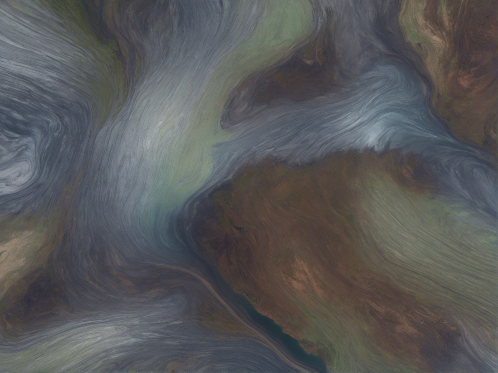
The image displays an aerial view of swirling water currents, showcasing rich blues and greens intermingling with earthy tones, highlighting the dynamic interplay of land and sea.


